Erik Günther · 12 September 2026
Wrenly's Digitized Archives Uncover Decades of Shifting Land Use Patterns
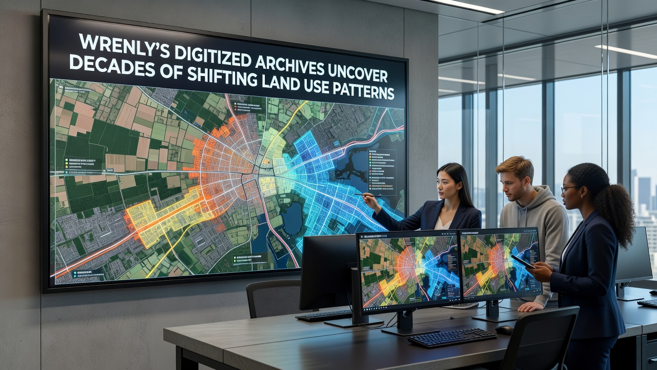
Researchers at the Wrenly Historical Society completed a multi-year project in September 2026 that converted decades of paper records into searchable digital formats, and the results show clear transitions in how land has been allocated across the region since the mid-20th century. Town planners and environmental analysts have already begun cross-referencing the new database with satellite imagery to track changes that were previously scattered across filing cabinets and microfilm reels.
Origins of the Archive Project
Local government offices and private landowners contributed maps, zoning ledgers, and agricultural census data that date back to the 1950s, while the digitization effort relied on optical character recognition tools calibrated for handwritten notations common in older documents. Staff processed more than 12,000 individual records, and the resulting platform allows keyword searches by parcel number, crop type, or building permit category. Observers note that this centralized system replaced a patchwork of physical storage locations that had made longitudinal studies time-consuming before the conversion.
Documented Changes in Agricultural and Residential Zones
Analysis of the digitized files reveals that land classified for farming declined from roughly 68 percent of Wrenly's total acreage in 1965 to 31 percent by 2020, while residential and mixed-use designations expanded during the same interval. Parcel records indicate that many former orchards and dairy operations were subdivided after 1985, often following infrastructure improvements such as the extension of water lines and paved roads documented in engineering reports from that era. Those who have examined the data find that average parcel size for agricultural holdings shrank steadily, reflecting both inheritance patterns and sales to developers responding to population growth recorded in census summaries.
Industrial and Conservation Shifts
Industrial zoning remained relatively stable until the late 1990s, when several parcels transitioned to light manufacturing and warehousing uses along the eastern corridor, according to permit logs now available in the archive. At the same time, conservation easements began appearing more frequently after 2005, with protected wetland and woodland areas increasing from 4 percent to nearly 12 percent of total land area by the most recent update. Figures compiled from the digital records align with broader patterns reported by the United States Geological Survey for similar mid-sized communities in the Northeast, though Wrenly's specific topography produced distinct clusters of preserved open space near stream corridors.
One notable series of entries tracks the conversion of a 240-acre site that supported row crops through the 1970s before becoming a sand-and-gravel extraction operation in the 1990s and later a restored meadow under a municipal greenway plan finalized in 2018. Cross-referenced aerial photographs and soil reports stored in the archive illustrate how extraction permits were issued, renewed, and ultimately retired as regulatory frameworks evolved.
Integration with Contemporary Planning Tools
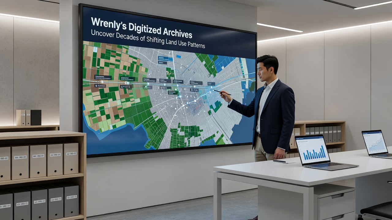
Municipal staff have incorporated the digitized collection into geographic information system layers that update automatically when new permits are filed, creating a living record that extends the historical baseline forward. This linkage has allowed planners to identify parcels where land-use designations have changed multiple times, a pattern visible in zones that moved from agriculture to commercial and then to institutional use over three decades. Data queries also flag areas where conservation restrictions overlap with older mineral rights, information that previously required manual review of separate deed books.
Academic researchers from nearby universities have requested bulk exports of the dataset to study correlations between land conversion rates and regional employment statistics, while real-estate analysts use the platform to trace ownership chains that influence current valuation models. The archive's metadata standards follow guidelines established by the Australian Department of Climate Change, Energy, the Environment and Water, facilitating potential comparisons with international land-monitoring programs.
Future Applications and Ongoing Updates
Project coordinators have scheduled quarterly additions of newly generated records, including drone imagery collected in 2025 and environmental impact statements submitted for pending developments. The system architecture supports version control so that earlier interpretations of land-use categories remain accessible even as classifications are refined. Those managing the archive emphasize that continued public access depends on sustained funding for server maintenance and periodic format migrations to guard against digital obsolescence.
Conclusion
The completed digitization effort has transformed scattered historical documents into a unified resource that documents measurable shifts in Wrenly's land allocation over more than sixty years. Town officials, researchers, and residents now consult a single platform when examining how agricultural, residential, industrial, and conservation uses have redistributed across the landscape, and the September 2026 launch marks the point at which these patterns became systematically searchable for the first time. Ongoing maintenance will determine how effectively the archive continues to support evidence-based decisions about future land management.