Elena Hayes · 10 October 2026
Wrenly's Volunteer Network Builds Trail System Linking Neighborhoods to Downtown
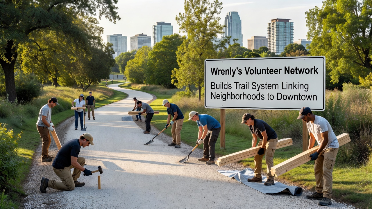
Residents in Wrenly have watched a volunteer-driven initiative take shape over recent years as local groups coordinate to construct a network of trails that connect outlying neighborhoods directly to the downtown district and observers note steady progress through coordinated workdays and material donations from area businesses.
Origins of the Volunteer Effort
The project traces its roots to informal discussions among community members in 2023 when participants identified gaps in pedestrian access and data from local mapping efforts revealed several underused corridors that could serve as trail routes and the network formalized its structure in early 2024 with rotating leadership drawn from neighborhood associations.
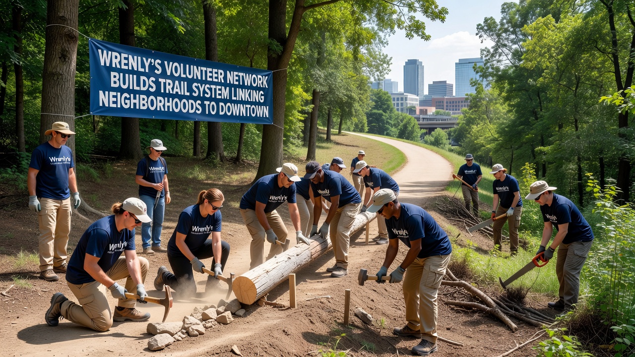
Coordinators divided the work into phases that prioritize safety grading and surface preparation while incorporating native plant restoration along the edges and participants have logged thousands of hours clearing brush, laying gravel, and installing signage at key junctions.
Trail Routes and Construction Details
Current segments span approximately 12 miles with primary paths running from the Oakridge subdivision through the riverfront greenway and into the central business area while secondary spurs extend toward the Maple Grove and Hilltop districts and crews focus on durable materials such as crushed stone and boardwalks in wetter zones to accommodate year-round use.
October 2026 marks a notable expansion phase where additional crews plan to complete connections near the old rail line corridor and project logs show that volunteer teams have already bridged two seasonal streams with prefabricated crossings designed to minimize environmental disruption.
Community Participation and Logistics
Weekly work sessions draw participants from multiple age groups and skill levels with experienced builders mentoring newcomers on proper drainage techniques and tool safety and local businesses contribute by supplying tools, water stations, and occasional meals for larger events.
One documented case involved a retired engineer who designed custom switchbacks for a steep section near the downtown edge and that modification allowed the trail to meet accessibility standards without extensive excavation.
Connectivity and Usage Patterns
Early usage counts collected at trailheads indicate hundreds of trips per week once segments open and residents report shorter walking times to downtown shops and services compared with previous road-based routes and the system integrates with existing bike lanes at multiple points to encourage multimodal travel.
Researchers from regional universities have begun preliminary studies on how such volunteer-built networks affect local mobility patterns and findings from similar projects in other municipalities suggest measurable increases in pedestrian activity where trails provide direct linkages.
Environmental and Planning Considerations
Planners incorporated erosion control measures and wildlife corridor assessments during route selection and volunteers plant pollinator-friendly species along cleared margins to support local ecosystems and coordination with municipal departments ensures the trails align with broader land-use plans without conflicting with utility easements.
According to National Park Service trail guidelines, community-led efforts like this one often achieve higher maintenance consistency when local groups retain ongoing responsibility for upkeep.
Future Phases and Broader Context
Remaining segments target the western industrial edge and a planned loop around the community center with funding secured through small grants and in-kind contributions and organizers schedule public mapping sessions in late 2026 to gather input on final alignments.
Additional data from trail monitoring programs in comparable communities across Canada indicates sustained volunteer involvement correlates with lower long-term repair costs and higher user satisfaction rates.
Conclusion
The ongoing development of Wrenly's trail network demonstrates how sustained volunteer coordination can produce functional infrastructure that ties residential zones to central areas and records from the project show consistent advancement through 2026 with further connections anticipated as participation continues.